


8.8 km | 10.2 km-effort


User


FREE GPS app for hiking
 SityTrail
IGN / Geographical institutes
SityTrail World
The world is yours!
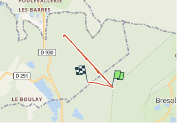
Trail Walking of 6.9 km to be discovered at Normandy, Orne, Tourouvre au Perche. This trail is proposed by patrick2m.
champignons pluie

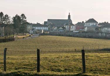
![Trail Walking Tourouvre au Perche - [Itinéraire] Parcours de découverte de la Réserve de Bresolettes - Photo](https://media.geolcdn.com/t/375/260/ext.jpg?maxdim=2&url=https%3A%2F%2Fmedia.geolcdn.com%2Ff%2F8e304002-6848-4d50-9971-301dd63ddb71.jpg)
Walking
Walking
Walking

Car

Mountain bike
Walking
Walking